|
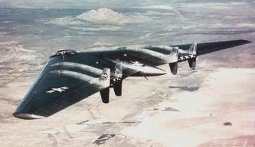
On the morning of June 5, 1948, 42-102368 crashed just north of Muroc Dry Lake. The co-pilot, Air Force Captain Glen Edwards, and all four other members of the crew were killed. What caused the crash is not known, but it was suspected that the flight crew managed to surpass the "red line" speed of the aircraft while descending from 40,000 feet, causing the outer wing panels to be shed and the aircraft to disintegrate in midair. |
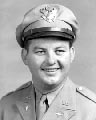
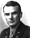
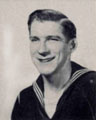
The crew on the ill-fated mission included Major Daniel H. Forbes, Jr. acting in the role of Pilot; Captain Glen W. Edwards as the copilot; Lt. Edward L. Swindell as the flight engineer; Clare C. Lesser and Charles H. LaFountain both Air Force civilian engineers. Muroc AFB was renamed Edwards AFB on December 5, 1949 in honor of the late Capt. Glen Edwards (as well as a middle school in his hometown, Lincoln, CA, was named for him). Also, Topeka Army Air Field in Kansas was renamed after Major Daniel Forbes on July 13, 1949. |
|  |  | 
| 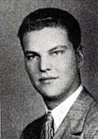 |
| Major Daniel High Forbes, Jr. | Capt. Glen Walter Edwards | Lt. Edward Lee Swindell | Charles H.
LaFountain | Clare C. Lesser |
The aircraft hit the ground inverted, immediately exploding, consuming the entire wreckage in fire. Various pieces of the aircraft including both wing tips were scattered from the main wreckage on a heading of 50 degrees. |
We are always searching for more photos of the crash site taken during the investigation. If you have any - please contact us. |
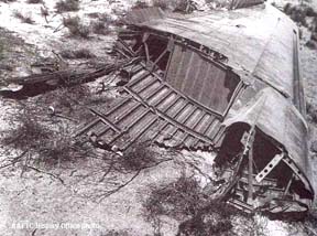
| A wing tip came down a few miles from the main crash site and led to the belief that the crash was cause by a structural failure. |
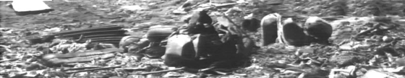
The main crash site was just a mass of melted aluminum and twisted metal. Oxygen tanks were about the only thing left that was recognizable. | 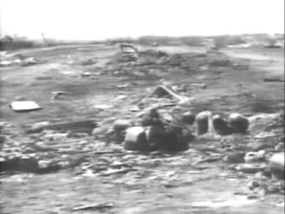
|
|
A closer look at the crash site reveals that little remained after the fire. |
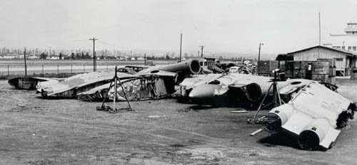
| Unfortunately - the remaining YB-49s ended up being cut up and sold for scrap. Not a single example remains today. |
Find out what Capt. Glen Edwards thought about the Flying Wing in his own words.
Capt. Glen Edwards Diaries |
| |
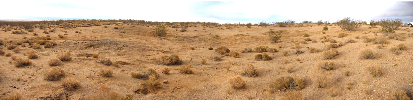
The Crash Site Today
|
Located about 8 miles east of Mojave, Calif., from the air, it is only a scar on the desert floor. But look closely and you can see the resemblance of the spot to the shape of the Flying Wing. | 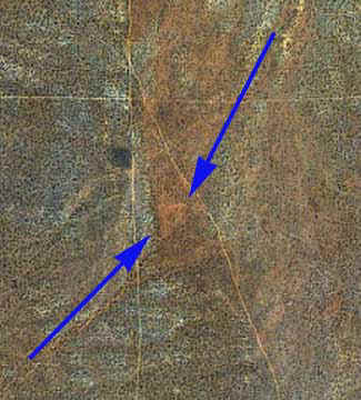
|
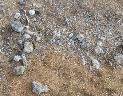
| A look around on the ground doesn't reveal any recognizable aircraft parts, just some chunks of melted aluminum mixed with sand and dirt. |
Click below for a 360-degree virtual tour of the site.
(Requires QuickTime)
HI RES 3Meg MEDIUM RES 1 Meg
|
A panorama of the site looking to the northeast.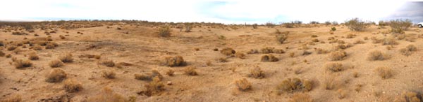
Click on the image above for a tour of the site
|